Sorry about the hiatus. We’re back just as the pattern transitions into mid-winter mode across eastern North America.
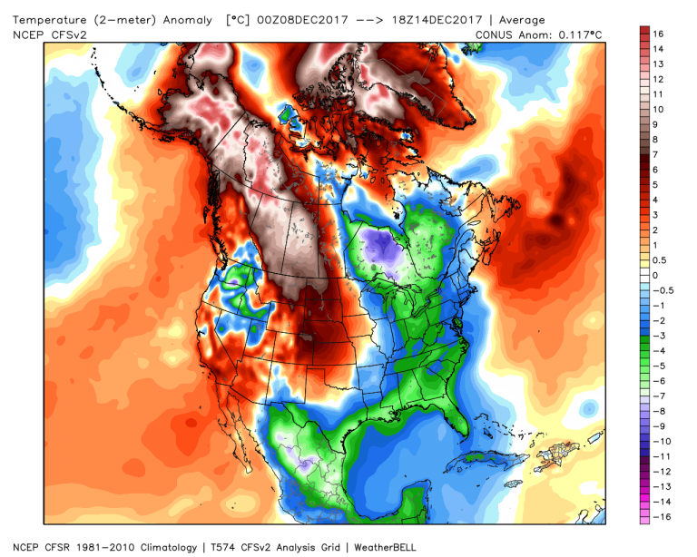
Note how pronounced the cold has been all across the East and deep into the Sierra Madre of Mexico. Heck, even Cancun has been below normal in the last 7 days! Clearly we’re dealing with an anomalous pattern – one that has seen the coldest start to winter in the East in several years.
But for every cool spell, there’s a warm one. And although the cold has been several degrees below normal, the warmth across Alaska and the Yukon has been three times that. McGrath, Anchorage, Fairbanks are boiling this month. Temperatures are averaging nearly 20 degrees above normal! It was so warm in Barrow, the computer models that were simulating global warming projections immediately discounted the readings as too warm and deleted them. Pretty incredible.
Late word on the forecast shows the warm/cold pattern continuing into the 1st of the year. Thereafter, it gets interesting once again.
The European weeklies want to crush the deep cold festering around Hudson Bay by the second week in January. The CFSv2 is in agreement, abruptly ending the warm West/cold East split.
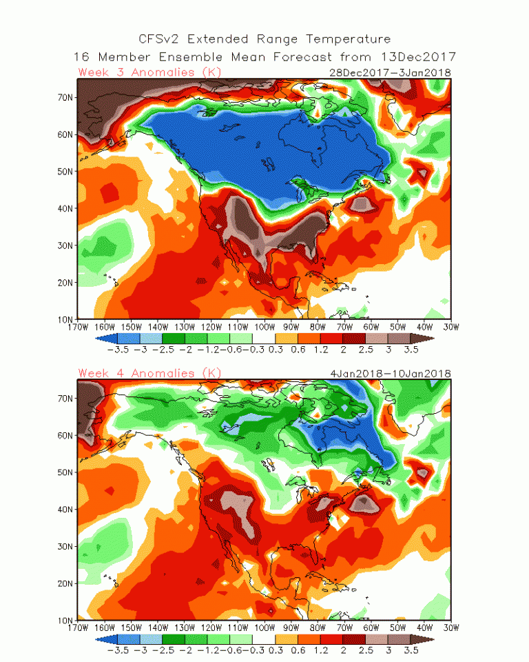
Stunning to see how the expansive cold (rooted in Eastern North America for what will be weeks) literally collapses after the first of January. Granted, this may be too soon, and there should be lingering pockets of cold, but the theme is what is important more than the exact timing. At last, Alaska will have the opportunity to cool off as the gigantic blocking high in the North Pacific gives way.
One thing supporting the changeover is the about-face of the Arctic Oscillation.
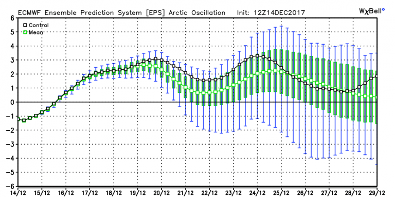
We’re shifting from negative to positive in the next 4-5 days, which yanks the cold back to the North Pole and allows the Lower 48 to moderate.
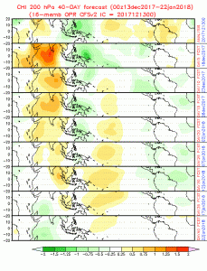
Also supporting the pattern change: the migration of the MJO back into the Indian Ocean – with a healthy amplitude. This imparts support to the idea of a warm ridge of high pressure establishing in the Southeastern U.S.
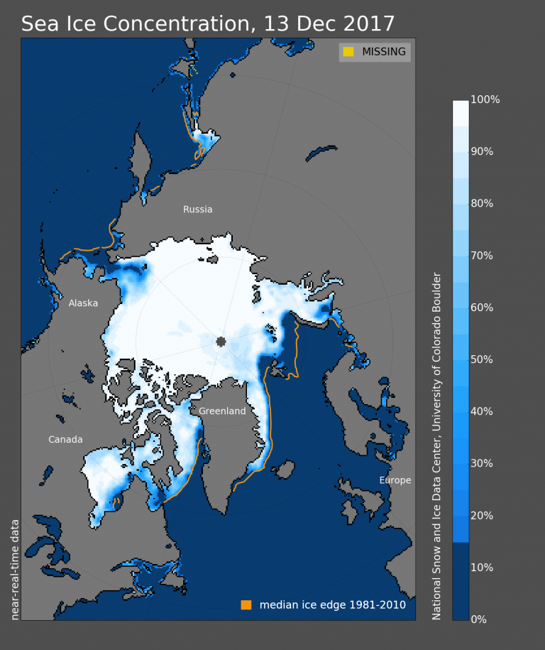
A warmer presence in the Southeast isn’t necessarily the death knell to the cold in the Great Lakes and East, but it makes it difficult for the numbing air to penetrate the States. It’s my thought that the cold in east central Canada won’t give up as easily as the models suggest, due to the fact that it’s reinforced by a nearly frozen Hudson Bay.
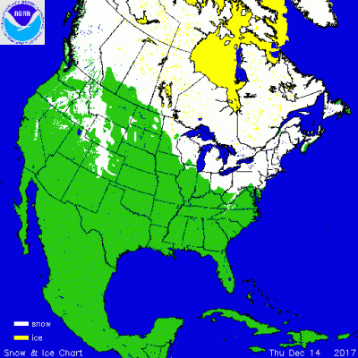
And a solid snow pack.
With these two major climate controls providing positive feedback for cold, it may take until the second week of January to shift out of the current pattern and initiate a January thaw over Eastern North America.